| John E. Runyard's Collection: Old Pirate Lane, Huntington Beach, Ca. |
"The
Land of Old Pirate Lane"
Supplement to Mom's "Old Pirate Lane" Book
Page:
1928
That's right, 1928. In honor of finding the earliest aerial photograph of North Huntington Beach
to date.
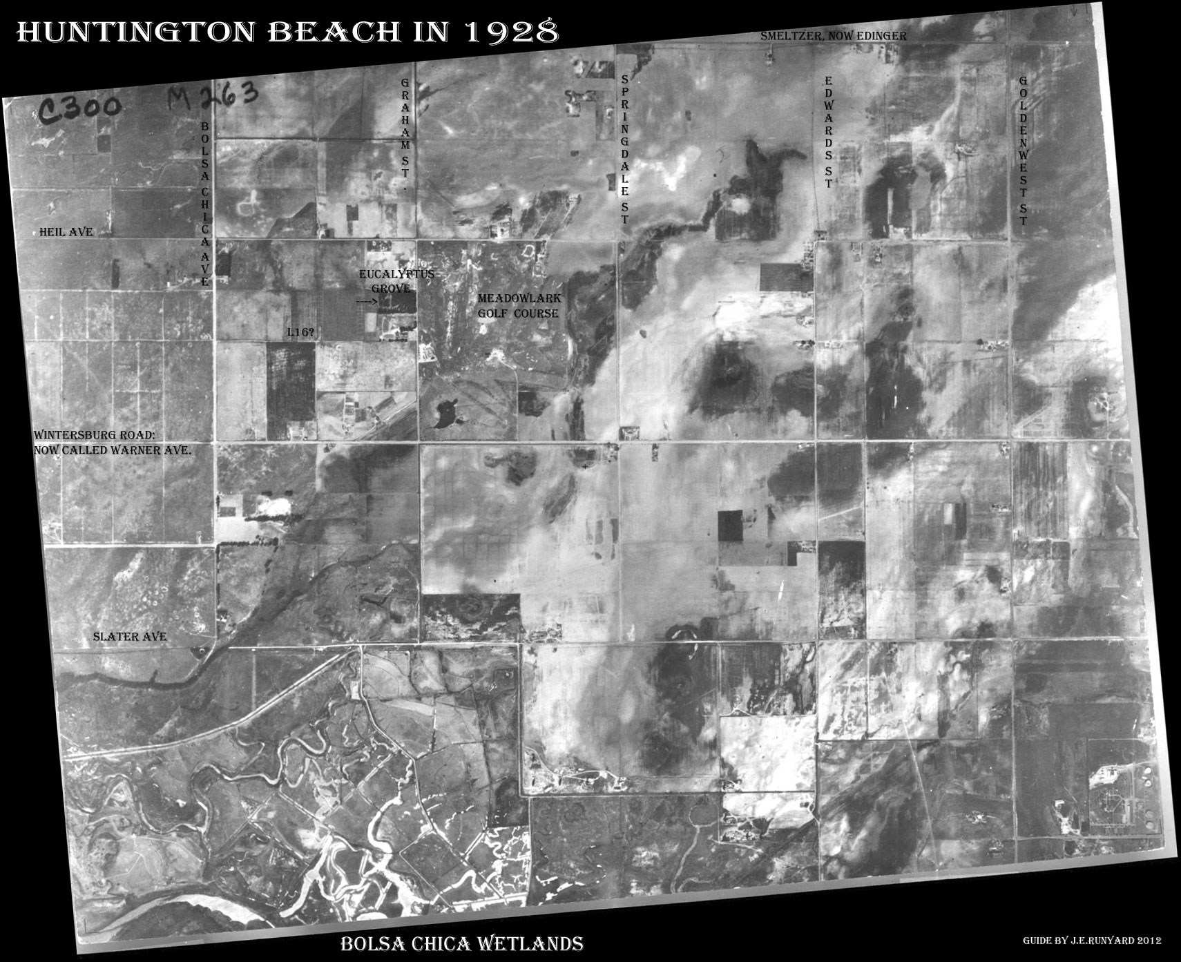
There is a lot to take in. I'm still in awe. To imagine what people have done to
this area in only 84 short years is unbelievable.
Back in 1928 this was a farmers paradise, but rather quickly turned out that
everybody just had to live here.
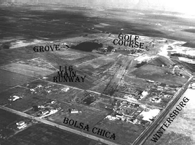
L16 is in reference to an upcoming airport runway. The eucalyptus grove
"Gibbs Park" is of special interest to me as our property butts to it.
I'm surprised to see Meadowlark Golf Course up and running back in 1928. Farmers
don't have time to play golf...
This is the area in the above map.
|
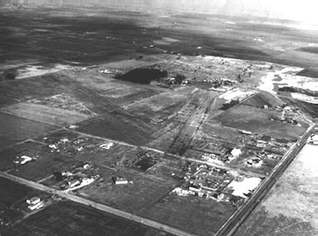 |
A fresh angle in this undated aerial photo.
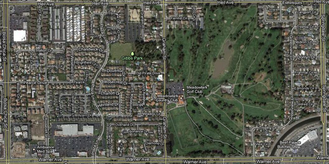
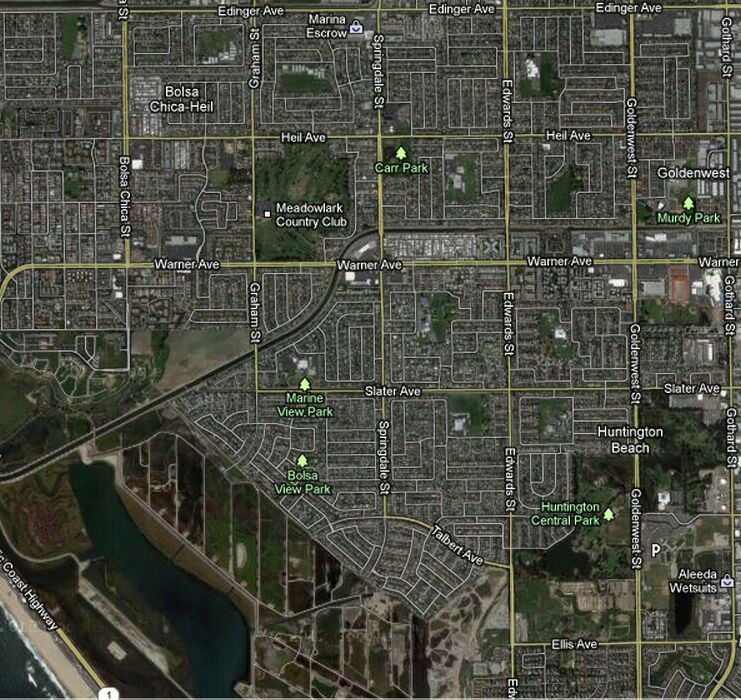
Covering the same area of the undated photo above. ~ 2012 Aerial Hybrid, North
Huntington Beach.
Minus one Meadowlark Airport, closed 1989. The Golf Course is still here as is
the
Eucalyptus Grove, Sims Grove now called Gibbs Park. "Old Pirate Lane" unwillingly was renamed by the city
of Huntington Beach to "Old Pirate Drive" in 2010. I guess they know
better.
See
1952 Aerial Photo
See 2000 Aerial
|
Created on 12/20/2012
|