MEADOWLARK AIRPORT Page 2
Current: As seen inside the Trader Joe's in Huntington Harbor on Algonquin. ( more here )
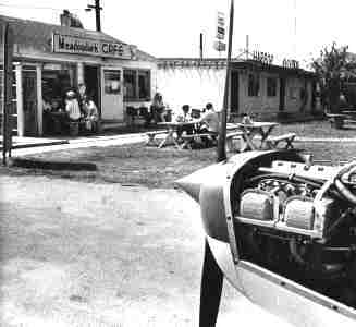
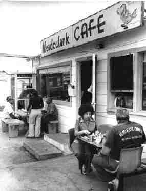
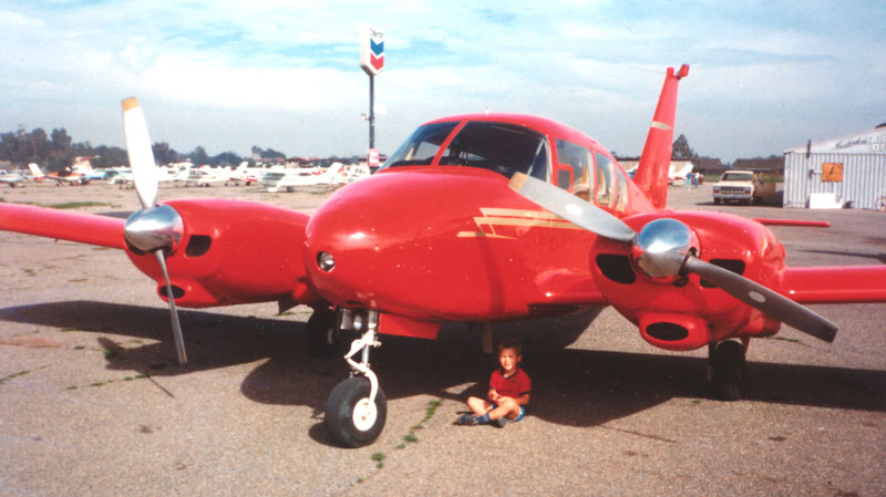
No, this is not in Mom's book, but John's stolen photos of the internet. Well, there're not all stolen, one at
the top and bottom of the page I shot myself.
And the OLD

Now this is the earliest photo of OPL to date. 1947, and it's how it used to be, before 240,000 people moved in
to our little town of Huntington Beach.
====================================================================================================
East Long Beach Airport / Sunset Beach Airport / Meadowlark Airport (L16),
Huntington Beach, CA
33.72 North / 118.03 West (Southeast of Los Angeles, CA)
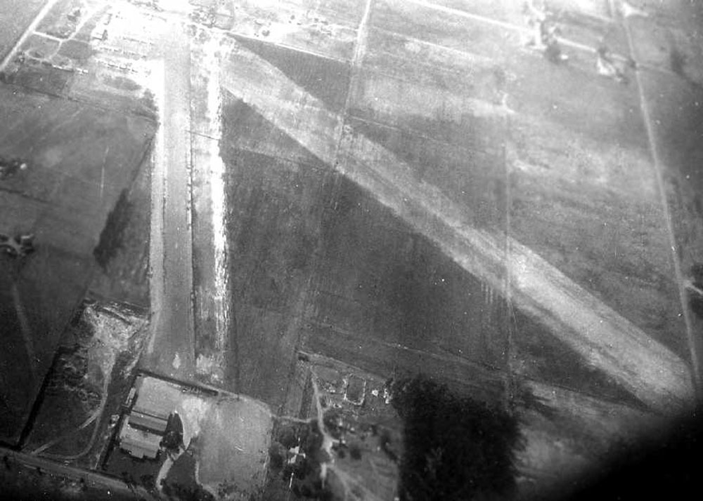
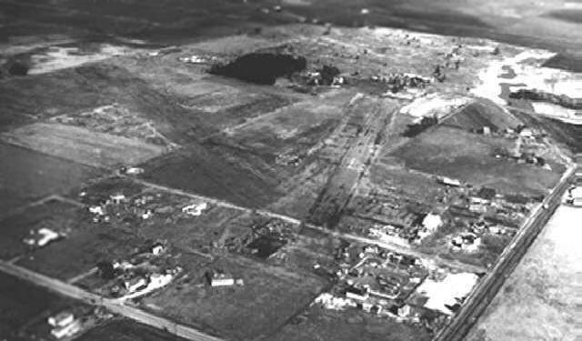
1947 Photo is for Long Beach East Airport. Because that's what this airport was called. There was nothing between
here and Long Beach. Photo from one of Paul Freeman's links of old abandon So. Cal. Airports.